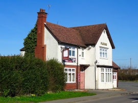
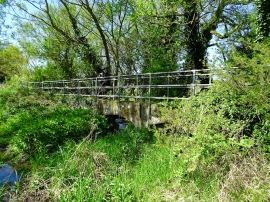
Assage Wood, Leicestershire

« Gazetteer Entry
Upload Photo

Assage Wood, Leicestershire

  • Built-Up Area: Ravenstone
  • Parish/Community: Ravenstone with Snibstone
  • District/Borough: North West Leicestershire
  • County: Leicestershire
  • Region: East Midlands
  • Category: Landcover
  • Type: Forest or Wood
  • Latitude/Longitude: 52°42'50"N 1°24'9"W
  • Eastings/Northings: 440449, 313104
  • OS Grid: SK404131
  • Mapcode Local: GBR 7JT.S6R
  • Mapcode Global: WHDJ0.F18M

Location and coordinates are for the approximate centre of Assage Wood within this administrative area. Geographic features and populated places may cross administrative borders.

BritishPlaceNames.uk is a Good Stuff website.