-
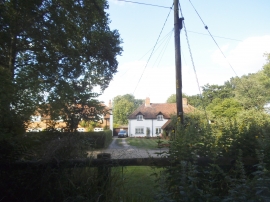
Houses on Honey Lane, Burchetts Green
-
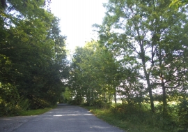
Honey Lane, Burchetts Green
Houses on Honey Lane, Burchetts Green
Honey Lane, Burchetts Green
Location and coordinates are for the approximate centre of Ashley Hill within this administrative area. Geographic features and populated places may cross administrative borders.