-
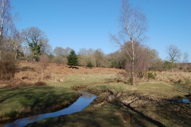
New Forest stream
-
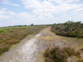
Ashley, forestry track
New Forest stream
Ashley, forestry track
Location and coordinates are for the approximate centre of Ashley Bottom within this administrative area. Geographic features and populated places may cross administrative borders.