-
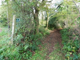
Path to Lower Farm
-
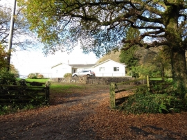
Bungalow near Baggatton Farm
Path to Lower Farm
Bungalow near Baggatton Farm
Location and coordinates are for the approximate centre of Ashcombe Copse within this administrative area. Geographic features and populated places may cross administrative borders.