-
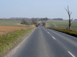
B1106 follows a gently curving course through Barton Bottom
-
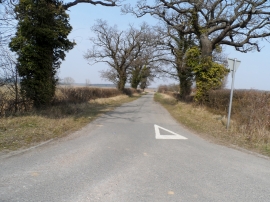
Lane off B1106 to Timworth Heath
B1106 follows a gently curving course through Barton Bottom
Lane off B1106 to Timworth Heath
Location and coordinates are for the approximate centre of Ash Tree Belt within this administrative area. Geographic features and populated places may cross administrative borders.