-

Track skirting West Leake Hills
-
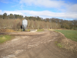
Manure yard south west of West Leake Hills
Track skirting West Leake Hills
Manure yard south west of West Leake Hills
Location and coordinates are for the approximate centre of Ash Spinney within this administrative area. Geographic features and populated places may cross administrative borders.