-
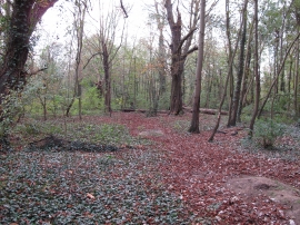
Narrow glade in Ash Plantation
-
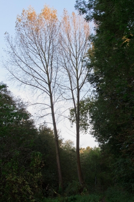
Sunlight on trees, Oakwood and Ash Plantation
Narrow glade in Ash Plantation
Sunlight on trees, Oakwood and Ash Plantation
Location and coordinates are for the approximate centre of Ash Plantation within this administrative area. Geographic features and populated places may cross administrative borders.