-
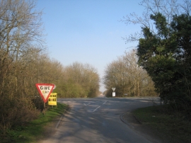
Crossroads by Ash Holt
-
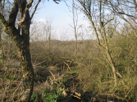
Overgrown Quarry
Crossroads by Ash Holt
Overgrown Quarry
Location and coordinates are for the approximate centre of Ash Holt within this administrative area. Geographic features and populated places may cross administrative borders.