-
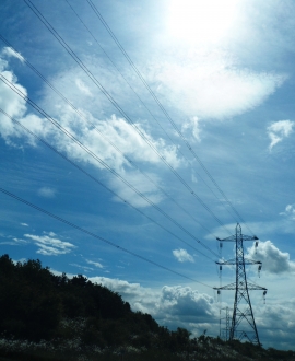
Power to the People
-
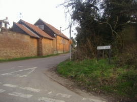
Junction of Blunts Lane and Bedmond Lane
Power to the People
Junction of Blunts Lane and Bedmond Lane
Location and coordinates are for the approximate centre of Appspond within this administrative area. Geographic features and populated places may cross administrative borders.