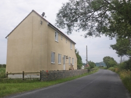
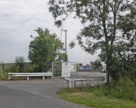
Applewithy Rhyne, Somerset

« Gazetteer Entry
Upload Photo

Applewithy Rhyne, Somerset

  • Parish/Community: Burnham-on-Sea and Highbridge
  • District/Borough: Sedgemoor
  • County: Somerset
  • Region: South West
  • Category: Water Feature
  • Type: Other Water Feature
  • Latitude/Longitude: 51°15'30"N 2°58'58"W
  • Eastings/Northings: 331500, 151500
  • OS Grid: ST315515
  • Mapcode Local: GBR M6.0VG1
  • Mapcode Global: VH7CY.7MVK

Location and coordinates are for the approximate centre of Applewithy Rhyne within this administrative area. Geographic features and populated places may cross administrative borders.

BritishPlaceNames.uk is a Good Stuff website.