-

Footpath into Anstey's Gully
-
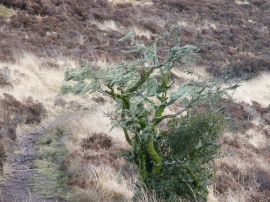
Footpath across Molland Common above Anstey's Combe
Footpath into Anstey's Gully
Footpath across Molland Common above Anstey's Combe
Location and coordinates are for the approximate centre of Anstey's Gully within this administrative area. Geographic features and populated places may cross administrative borders.