-
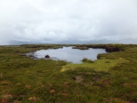
Moorland pools near the summit of An Cabar
-

Moorland to north of C
Moorland pools near the summit of An Cabar
Moorland to north of C
Location and coordinates are for the approximate centre of An Cabar within this administrative area. Geographic features and populated places may cross administrative borders.