-
Amicombe Hill [Kitty Tor]
-
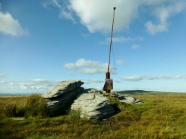
Okehampton range flag pole, Amicombe Hill
Amicombe Hill [Kitty Tor]
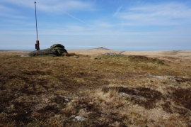
Okehampton range flag pole, Amicombe Hill
Location and coordinates are for the approximate centre of Amicombe Hill within this administrative area. Geographic features and populated places may cross administrative borders.