-

Cairn on Am Meall
-
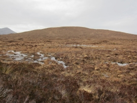
South facing slope of Am Meall
Cairn on Am Meall
South facing slope of Am Meall
Location and coordinates are for the approximate centre of Am Meall within this administrative area. Geographic features and populated places may cross administrative borders.