-
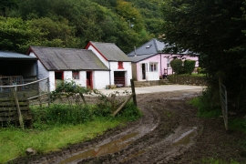
Muddy track to Dan Coed
-
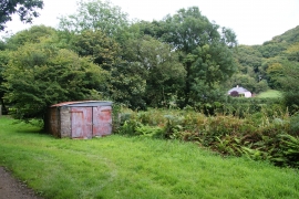
Roadside shed near Dan Coed
Muddy track to Dan Coed
Roadside shed near Dan Coed
Location and coordinates are for the approximate centre of Allt Cwm-du within this administrative area. Geographic features and populated places may cross administrative borders.