-
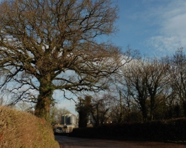
Approaching Knowle Poultry Farm
-
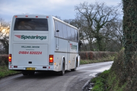
Mid Devon : Country Lane & Spearings Coach
Approaching Knowle Poultry Farm
Mid Devon : Country Lane & Spearings Coach
Location and coordinates are for the approximate centre of Alder Grove within this administrative area. Geographic features and populated places may cross administrative borders.