-
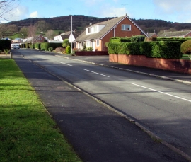
Wyndham Drive, Cefn-y-bedd, Flintshire
-
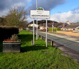
Welcome to / Croesi i / Abermorddu
Wyndham Drive, Cefn-y-bedd, Flintshire
Welcome to / Croesi i / Abermorddu
Location and coordinates are for the approximate centre of Abermorddu within this administrative area. Geographic features and populated places may cross administrative borders.