-
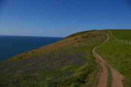
Pembrokeshire coast path on the west side of Dinas Island
-
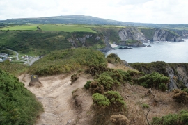
Coastal path on Dinas Island
Pembrokeshire coast path on the west side of Dinas Island
Coastal path on Dinas Island
Location and coordinates are for the approximate centre of Aber Pensidan within this administrative area. Geographic features and populated places may cross administrative borders.